Decided to try running a full 21km around Punggol Sengkang area making use of the North Eastern Park Connector. Started off from the usual point at Lorong Halus. After crossing the bridge, we went over to the river side running on the by now very familiar red ground. This is what the Nparks call the Punggol Promenade Nature Walk.
From there, the park connector leads to Punggol Marina or the Punggol Promenade Punggol Point PCN which leads to the Punggol Waterway. Instead of turning back to Lorong Halus, we continued north towards Sengkang Riverside Park. The last time we ran there, we reached the expressway before we turned back. This time we continued past the expressway, through the Sengkang Riverside Park and continued along the river. This stretch of the park connector is simply called Punggol Park Connector.
It's a great feeling running along this park connector. So peaceful with trees and mangroves on both side of the track. Too bad this will probably soon disappear looking at the construction crane looming in the background.
Our route led us past the last kampong in mainland Singapore, the Lorong Buangkok kampung. We didn't detour to explore the place though. Must go back one day before it disappear. More on Kampung Buangkok on Singapore VR.
 |
| The houses behind the plants is the kampong |
At the end of this park connector, is an unique ramp with a one metal track for cyclist to roll their bicycle down. What a great idea. There should be more of these type of ramps so that crazy irresponsible cyclists do not race up and down bridges.
Unfortunately, the serenity and peace of the riverside park connector soon ends and we are now on Buangkok Drive, a busy road. No choice but to smell the smog and breath in deadly carbon monoxide. This is the Buangkok PCN, the only only along the whole stretch that is actually just a pavement along the road.
Thankfully after about 1 km, the traffic gave way and there is the Seranggon park connector running along a stretch of HDB flat. At least we are separated from the road by the pavement and a covered drain.
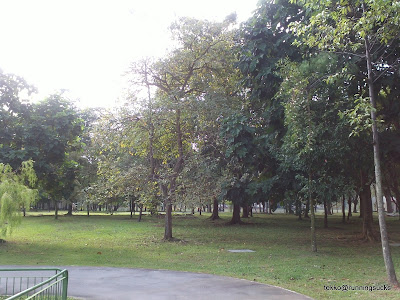
This leads to the bird friendly Punggol Park. But again we didn't go into the park itself, skirting it and running along the park connector at the side. By now, we have completed about 14km.
The Punggol Park Connector eventually ends at the Serangoon River Park Connector and led back to Punggol Promenade Riverside Walk PCN. Another very familiar route that we runs on. All in, a total of 21km including a turn here to the right towards Kovan to make up the distance.
Maybe there will be a half marathon race here one day?
Maybe there will be a half marathon race here one day?


Hi, I am planning a similar route like what you did. Can you tell me if the stretch between Sengkang Riverside Park to the intersection between Yio Chu Kang Road and Buangkok Green is a proper trail? i.e. proper trail with no bashing through of vegetation?
ReplyDeleteThanks!
Hi there yes it is a proper park connector. You will be passing scenic riverside, behind terraces house and next to Kampung Buangkok, the last kampung in Singapore!
ReplyDeleteEnjoy